
ملف:Moscow satellite image.jpeg
حجم هذه المعاينة: 600 × 600 بكسل. الأبعاد الأخرى: 240 × 240 بكسل | 480 × 480 بكسل | 1٬000 × 1٬000 بكسل.
الملف الأصلي (1٬000 × 1٬000 بكسل حجم الملف: 396 كيلوبايت، نوع MIME: image/jpeg)
| هذا ملف من ويكيميديا كومنز. معلومات من صفحة وصفه مبينة في الأسفل. كومنز مستودع ملفات ميديا ذو رخصة حرة. |
ملخص
| الوصف |
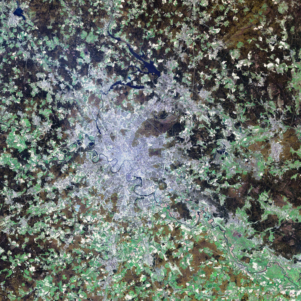
Deutsch: Satellitenbild von de:Moskau English: satellite image of the city of en:Moscow.
|
| التاريخ | ٢ أغسطس ٢٠٠٢ |
| المصدر | NASA Visible Earth project, http://visibleearth.nasa.gov/view_rec.php?id=3434 |
| المؤلف | NASA/USGS EROS Data Center Satellite Systems Branch/Landsat 7/ETM+ |
ترخيص
تقع هذه الصُّورة في النِّطاق العامّ لأنَّها تحتوي مواد حصريَّة مِن إِنتاج هيئة المساحة الجيولوجيَّة الأمريكيَّة في وزارة الداخلية في الولايات المُتحدة الأمريكيَّة. للمزيد مِن المعلومات انظر سياسية حقوق التَّأليف والنَّشر في موقع هيئة المساحة الجيولوجيَّة الأمريكيَّة الرسميَّة.
|
| يقع هذا العمل في النِّطاق العامّ في الولايات المُتحدة الأمريكيَّة لأَنَّه عملٌ خالِصٌ من إِنتاج وكالة الفضاء الأمريكيَّة. تنصُ حقوق التَّأليف والنَّشر الخاصَّة بوكالة الفضاء الأمريكيَّة على أنَّ "أعمال الوكالة غير مَحميَّة بحقوق التَّأليف والنَّشر ما لم يُذكر خلافُ ذلك". لمزيدٍ من المعلومات انظر القالِب {{PD-USGov}} وصفحة حقوق التَّأليف والنَّشر الخاصَّة بالوكالة وصفحة سياسة الصُّور الخاصَّة بمُختبر الدَّفع النَّفَّاث. | ||
 |
تنبيهات:
|
تاريخ الملف
اضغط على زمن/تاريخ لرؤية الملف كما بدا في هذا الزمن.
| زمن/تاريخ | صورة مصغرة | الأبعاد | مستخدم | تعليق | |
|---|---|---|---|---|---|
| حالي | 05:12، 8 نوفمبر 2004 | | 1٬000 × 1٬000 (396 كيلوبايت) | Ævar Arnfjörð Bjarmason |
استخدام الملف
الصفحة التالية تستخدم هذا الملف:
الاستخدام العالمي للملف
الويكيات الأخرى التالية تستخدم هذا الملف:
- الاستخدام في af.wikipedia.org
- الاستخدام في be-tarask.wikipedia.org
- الاستخدام في ca.wikipedia.org
- الاستخدام في hif.wikipedia.org
- الاستخدام في hr.wikipedia.org
- الاستخدام في hu.wiktionary.org
- الاستخدام في it.wikipedia.org
- الاستخدام في kk.wikipedia.org
- الاستخدام في lb.wikipedia.org
- الاستخدام في my.wikipedia.org
- الاستخدام في roa-tara.wikipedia.org
- الاستخدام في ru.wikipedia.org
- الاستخدام في sh.wikipedia.org
- الاستخدام في sl.wikipedia.org
- الاستخدام في yi.wikipedia.org